Contact
Routebeschrijving
- Afstand13.2km
- Dénivelé410m
- Bewegwijzering
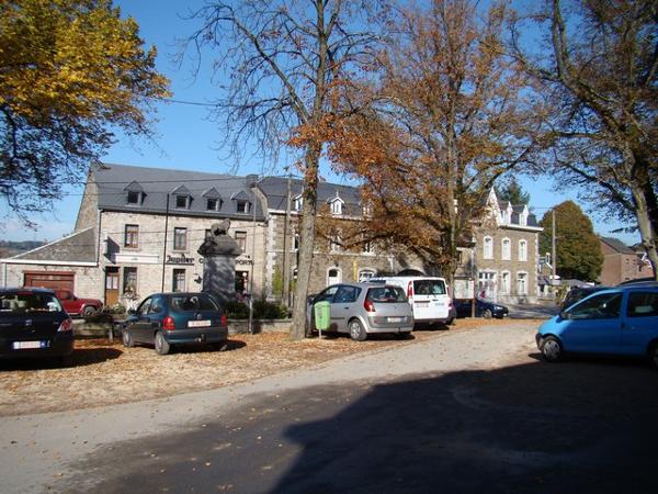
- Point de départPlace de Chablis , 4190 Ferrières
Beschrijving
Ferrières - Lognoul - Le Houpet - Le Thier - Fagnoule - Le Trou - Burnontige - Raumont - Au Petit Bois - Ferme de la Housse - Ferrières
Extra informatie
Voorzieningen
- Parking
GPX-bestand downloaden
Thema
- Woud
- Plattelandsmilieu
- Dorp